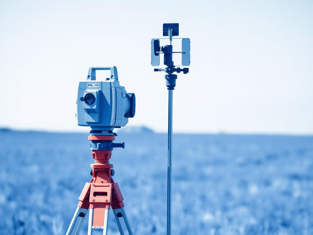
Surveying and mapping
Faster and more accurate surveys with no need to set up a local base station.
- surveying
- mapping
- GIS
- monitoring

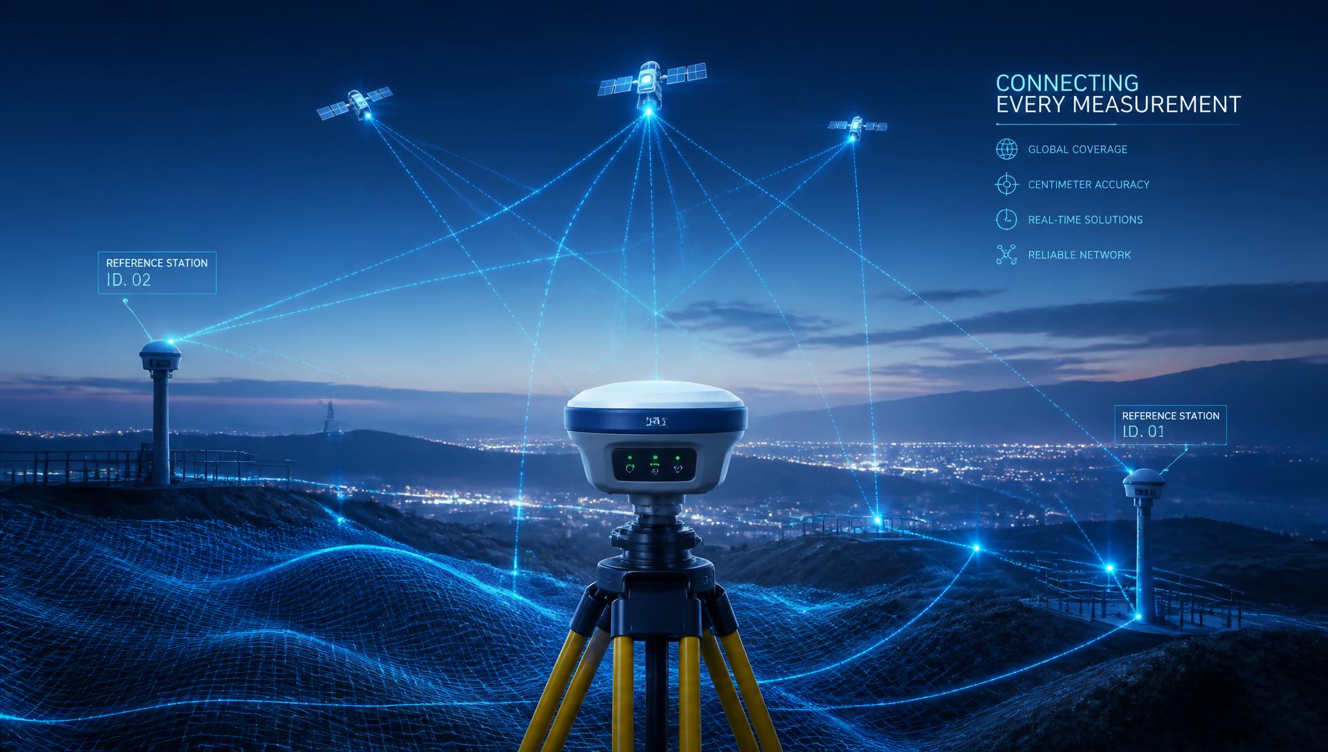
Network RTK / VRS
Real-time RTK corrections for centimetre-level accuracy
Turn any compatible GNSS receiver into a high-precision solution with the professional TruePoint.CM RTK/VRS network distributed by Novatest.
Service overview
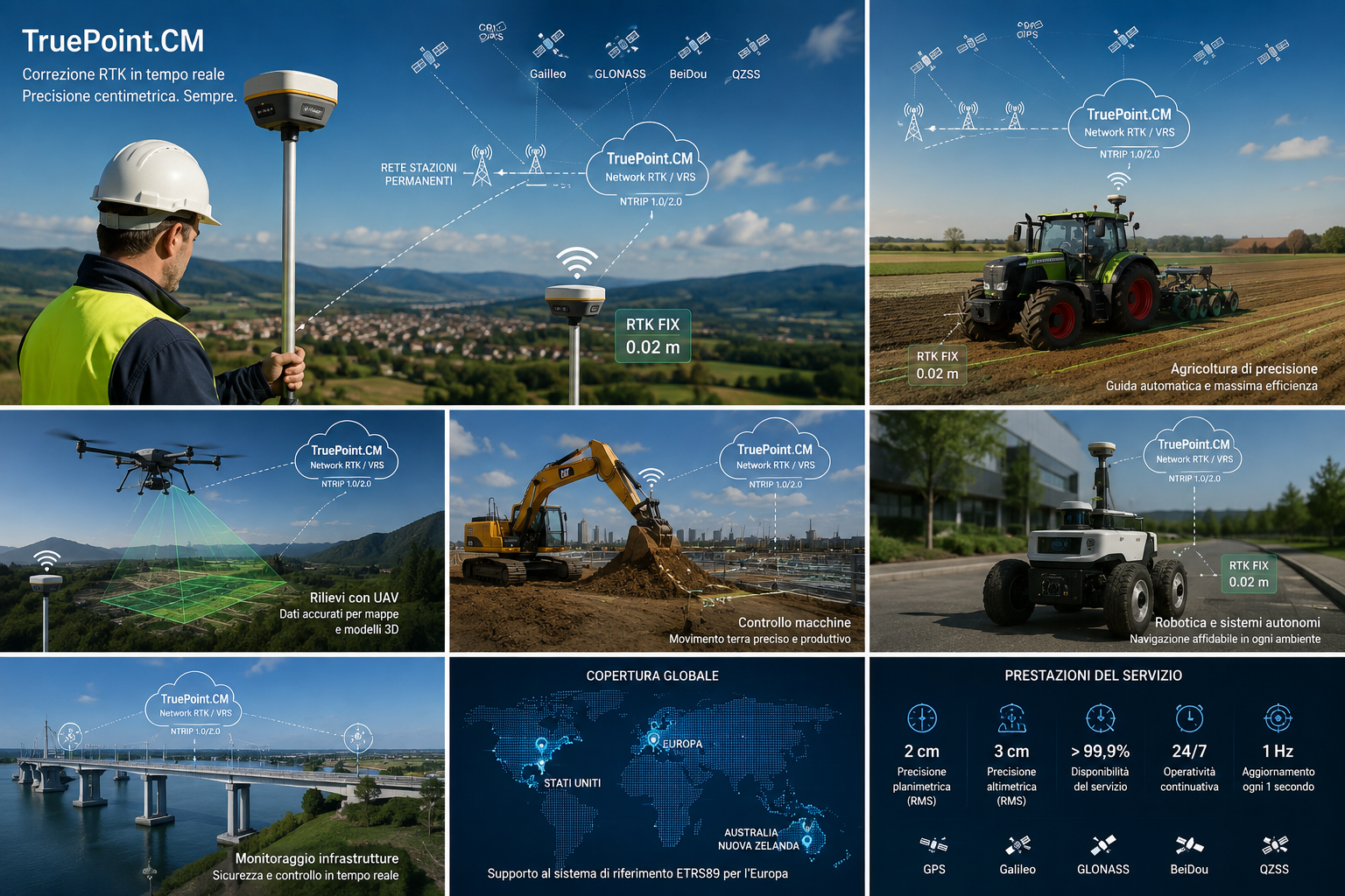
Supported constellations, application fields, global coverage and performance of the Network RTK / VRS service.
Why centimetre positioning matters
Plain GPS positioning can produce errors that are incompatible with professional applications.
TruePoint.CM uses an advanced network of reference stations and Network RTK/VRS algorithms to deliver real-time differential corrections, allowing compatible devices to reach centimetre-level accuracy.
Service architecture
TruePoint.CM collects data from the network of permanent GNSS stations, processes it with advanced algorithms and delivers RTK corrections over an Internet connection.
The service works with professional GNSS receivers and embedded devices supporting the standard NTRIP/RTCM protocols.
Multi-GNSS constellations tracked continuously.
Permanent reference stations across the territory.
Real-time Network RTK / VRS processing.
Delivered over the Internet on standard protocols.
Immediate centimetre-level position in the field.
2 cm
Horizontal accuracy RMS
3 cm
Vertical accuracy RMS
>99.9%
Service availability
24/7
Continuous operation
1 Hz
Data update every second
Service specifications
Technical parameters of the standard subscription, valid for GNSS receivers compatible with NTRIP/RTCM protocols.
Notes: supported signals can be customised according to customer requirements. ETRS89 is supported in Europe only. European coverage excludes Belarus, Ukraine and Russia; USA coverage refers to the continental United States.
Applications
Faster and more accurate surveys with no need to set up a local base station.

Accurate drone positioning for professional missions and precise 3D models.

Support for smart agricultural machinery and optimised field operations.

TruePoint.CM enables outdoor autonomous systems through centimetre GNSS data: service robots, autonomous driving and cooperative vehicle-to-infrastructure systems (V2X).

Accuracy and control in construction site operations.
Why choose Novatest
Novatest distributes TruePoint.CM and supports customers throughout the operational phases: account activation, NTRIP connection setup and receiver compatibility checks.
The goal is to get you a centimetre RTK fix in the field as quickly as possible, with no need to install and manage your own GNSS base.
TruePoint.CM uses standard protocols and can be integrated with NTRIP/RTCM compatible GNSS receivers.
Frequently asked questions
TruePoint.CM is Novatest's real-time GNSS correction service. It uses a network of permanent reference stations and Network RTK technology with a VRS (Virtual Reference Station) solution to send your GNSS receiver the corrections needed to compute position with centimetre accuracy.
The service delivers horizontal accuracy down to 2 cm RMS and vertical accuracy down to 3 cm RMS, with service availability above 99.9% and corrections updated every second.
NTRIP (1.0 and 2.0) is the protocol used to transport corrections over the Internet, while RTCM is the standard format of correction messages: TruePoint.CM broadcasts RTCM 3.3 MSM4 with a one-second update rate and supports encrypted TLS transmission. It works with the most common professional GNSS receivers, modules and chipsets able to receive RTCM corrections via NTRIP.
TruePoint.CM supports GPS (L1C/A, L2P(Y), L5), GLONASS (G1, G2), BeiDou (B1I, B1C, B2a, B3I), Galileo (E1, E5a, E5b, E6) and QZSS (L1, L2, L5). Signals can be customised to customer needs.
Coverage includes Europe, the United States, Australia and New Zealand. European coverage excludes Belarus, Ukraine and Russia, while US coverage refers to the continental United States. In Europe the ETRS89 reference system is also supported.
Corrections can be provided in ITRF2008, WGS84, ETRS89 (Europe only) or in a local reference system, so they fit the mapping systems you already use.
Activation is quick once you subscribe. We provide username, password, caster and port so you can connect your compatible receiver and start working at centimetre level right away.
TruePoint.CM is ideal for topographic and cartographic surveys, UAV (drone) inspections, precision agriculture, machine guidance and control, robotics and autonomous systems, infrastructure monitoring and management: in short, any application requiring high-precision real-time GNSS positioning.
Talk to our specialists to find the setup that best fits your needs.
Fill in the form and one of our specialists will get back to you.